Skip to content

Nockregion - Oberkärnten, Austria

Key Facts

The Nockregion-Oberkärnten is located in the southernmost province of Austria (Carinthia), bordering the province of Salzburg (district of Tamsweg) and the province of Styria (district of Murau). The region includes 17 municipalities spread over three political districts. The total area is 1,324 km2, with a permanent settlement area comprising only about 15% of the area. In addition to Spittal an der Drau, the main settlement areas are the municipalities of Seeboden and Radenthein. The population of about 52.500 inhabitants has been continuously shrinking for the past years (-3.5% between 2011 and 2021 with considerable differences between the municipalities), a trend that, according to population forecasts, will not change.

The region is located in the Central Alps, the highest peak lies at 3.360 m (Hochalmspitze). The natural features range from hilly mountainous areas to high alpine mountains and lake landscapes. A specifically mountainous municipality is part of the national park “Hohe Tauern” and carries the touristic label of a “Mountaineering Village”. Furthermore, some municipalities are part of the Biosphere Reserve Salzburger Lungau and Kärntner Nockberge. According to the geographical and spatial conditions, the predominant land use is agriculture (mostly permanent grassland), forestry, mountain pasture management and tourism.  

The lake “Millstätter See” is one of the four large lakes in Carinthia and a main touristic attraction. About 2 Mio overnight stays during the summer season illustrate the importance of tourism which offers besides the attractive location of the lake, also (recreational) sports activities in the mainly gentle, less steep mountains (compared to the adjacent rugged mountain range of the Hohe Tauern). Winter tourism is less pronounced but has still about 1 Mio overnight stays (with the exception of 2021 when Covid-19 lock downs restricted winter tourism development massively). Other significant sectors are agriculture and forestry, crafts, trade and industry, regional energy production, construction and the wood sector.   

The region Nockregion-Oberkärnten is situated at an important European north-south connection (motorway A10) and at other supra-regional traffic routes, which provide a good connection of the central municipalities of the region with the Carinthian central region and the surrounding federal provinces, while remote municipalities are less accessible. The region faces major challenges for development, such as an unbalanced job structure, strong deficits in job supply, negative demographic development, in particular, out-migration, especially of young people and women, aging and high commuter rates.    

With regard to governance the region is well developed. The regional agency “Spittal-Millstättersee-Lieser-Malta-Nockberge” is a main actor and steers continuity and strategic development of the region. Besides socio-economic development it also promotes activities and programmes focusing on climate change adaptation, such as a Climate Change Adaption Model Region named “Klar! Nockregion” and three “Climate and Energy Model Regions” (KEM). 16 municipalities of the region are also organized as a LEADER Local Action Group (LAG). Another decidedly environmental and regional development approach is pursued in the four municipalities consisting of the Carinthian part of the Biosphere Reserve “Salzburger Lungau und Kärntner Nockberge” and one municipality, which is part of the national park “Hohe Tauern”.

Partners  
Involved

Living Lab transitions

The demographic change has been an important topic in the region for a long time. Already in 2014, a “demography check” documented the unfavourable development and discussed the complex interdependencies and effects of shrinking for regional development. This led to a raise of awareness of local actors and was also an important basis for the LEADER strategy of the last period 2014-2020. A two years LEADER project (2015-2017) awarded with an important prize for social innovation “SozialMarie” aimed to raise further awareness for the wider implications of demographic change by financing an officer for demography. However, population forecasts still assume negative population development  for the region (-10.5% for the district of Spittal/Drau, from 2018 to 2040) caused by both, a negative birthrate and a negative migration rate in many municipalities. This is combined with a significant aging of the population, and a decreasing share of young people and employable adults. Hence, the lack of (skilled) workers and employees is a central issue throughout all sectores, particularly in tourism. 

To address these challenges the strategic objective of “being on the way to become the best living and working region” (“Am Weg zur besten Arbeits- und Lebenssregion”) is designed to involve all sectors and branches and to lead to integrated regional development processes. This includes a wide range of topics and sectors, such as wider effects of demographic change, sustainable touristic development, support of small scale and sustainable agriculture and forestry, mobility concepts, affordable housing, vacancy management, digitalisation, qualification and child care, arts and culture, etc. and should contribute to further development of the regional culture of cooperation and a common approach of local and regional stakeholders and actors (see LEADER strategy 2023-2027(2029) in preparation).

The region encompasses a variety of different sectors particularly affected by climatic changes, including alpine landscapes, agriculture and forestry, lakes, tourism and commercial infrastructure. Due to its natural features it is at high risk of natural hazards (e.g. heavy rains, slides, but also drought periods). To address the increasing challenges, several approaches have evolved. Municipalities of the e5 Programm on energy efficient municipalities and three “Climate and Energy Modell Regions” (KEM) cover the region and address climate change with a main focus on the energy sector (alternative energy sources, reduction of greenhouse gases and reduction of the energy demand, etc.) and push green economcy by increasing the use of sustainable resources in economic cycles. Topics of climate change are primarily addressed in awarness building measures, also in the frame of biosphere reserve activities. Since 2021 the region is also a KLAR! Climate Change Adaption Model Region, and pursues, in a holistic approach, a climate change adaptation concept that supports its sustainable, climate-friendly and resilient development. 

With the involvement of all relevant stakeholders (especially the regional agency, LEADER LAG, climate and energy model regions, biosphere reserve and several other institutions) the region intends to develop towards a “climate flagship region” (“Klimavorzeigeregion”). A main project of the implementation plan of the KLAR! Region is (beside others) a “climate change adaptation check”, which is currently in development. It will enable the region to act as a pilot region by fostering climate change adaption in a proactive way. Since climate change adaptation is a cross-cutting issue, several topics will be pursued, including protection against natural hazards, regional energy planning (e.g. climate-friendly and climate-adapted spatial and climate-adapted settlement structures) and training of municipal decision-makers on the implementation of energy planning and climate change adaptation.

Broadband expansion at the community level in the region has already been partially started in 13 of the 17 communities. In the district, three quarters of households have broadband speeds of over 30 Mbit/s. However, there are still deficits in coverage, which have an impact on the attractiveness as business location and as general living space. As digital development is mainly determined and shaped by external players, regional actors perceive only little influence of their own.

Documents 📄

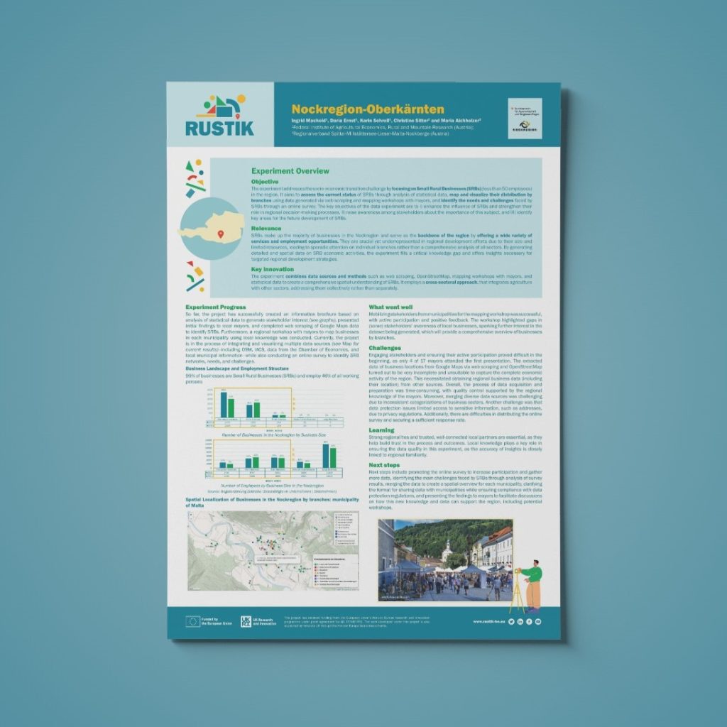
Poster LL Experiment

Pictures 📸