Skip to content

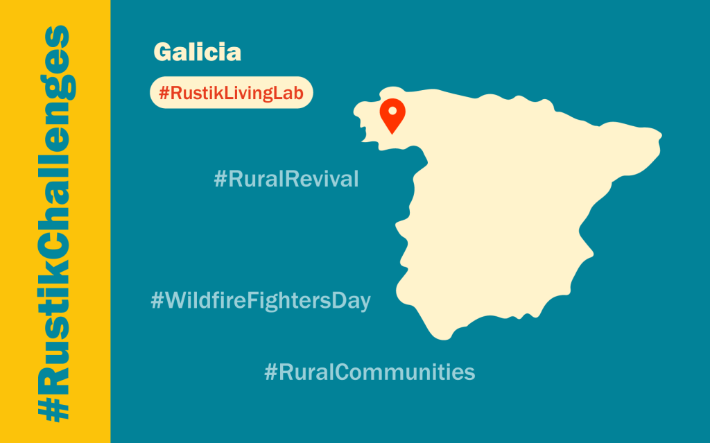
Galicia, Spain

Key Facts

Galicia is a region located in a peripheral position on the northwest of Spain. With a total area of 29,574 km² and a population of 2.69 million inhabitants, its average population density is similar to the rest of the country (91 inhabitants/km² vs 94 inhab./km²). Nevertheless, about three quarters of that population is concentrated in one fifth of the territory, meaning that average density, when only rural municipalities are considered, is around 30 inhabitants/km². Perhaps one of the most remarkable differences with the rest of Spain, in any case, is the high fragmentation of land ownership: an estimated 1.9 million people are landowners (about two thirds of total population), and the total number of land plots is close to 12 million. As a result, each landowner’s property amounts to an average of 1.5 ha, often distributed among several plots. A second conditioning element to highlight is the extreme dispersion of the Galician rural habitat: while occupying 6% of the territory, Galicia has half of Spain’s population settlements (more than 30,000 in absolute terms), 90% of them with less than 100 inhabitants.

Rural population has followed a trend of decline since the 1960s, but the total number of settlements is still around 30,000, meaning that many of them are today inhabited by a very small number of people. Intense spatial specialization of the primary sector has taken place for the last half century, which resulted in a strong expansion of forest and espontaneous vegetation and, more importantly, a large increase of biomass physical continuity. This, combined with short but intense periods of draught during the summer, result in a rather high wildfire risk. This is a greater concern in the extense wild-urban interface between populated and semi-natural areas and, accordingly, has prompted a steady increase of public spending in fire suppression equipment and infrastructures that reached 173 million euro per year in 2020.

Recognizing that rural depopulation, farmland abandonment and forest fires are essentially intertwined in this region, a novel legal instrument (the “model settlements“) was created in 2021. This instrument is intended to promote the active management of land in the proximity of inhabited settlements, by reconciling land use and land property, encouraging innovative approaches to local participation, agricultural production and improvement of living standards.

Partners  
Involved

Living Lab transitions

Deep demographic changes in rural areas (rural depopulation and ageing) are considered to be one of the main challenges in the region. They are the result of low or negative rates of natural increase, but also of persistent migration outflows to urban areas in the region, and other areas in Spain and abroad. The public debate seem to be largely centred on fertility rates for a long time, and only recently public policy measures start to address a larger variety of related issues like access to housing, employment and creation of new productive initiatives in rural areas.

The loss of demographic and economic weight of rural areas in recent decades has been accompanied by a growing deagrarization, due to a reduction in the importance of agricultural activity in these areas: in 2019, only around 13% of the employed residents in rural municipalities had their principal activity in the agricultural sector (including forestry and fisheries). Agricultural employment continues to decrease at very high rates, well above the Spanish and EU averages, and this is accompanied by a weak development of industrial and services activities in rural areas.

Rural depopulation and deagrarization resulted in important landscape changes in the last decades, which implied the abandonment of former farmlands and the expansion of tree cover. Today, farmers manage only around 29% of the land in Galicia. Of the remaining 71%, 41% is forested land or abandoned in the hands of non-agricultural owners, 23% corresponds to communal lands and 7% is devoted to urban use, transportation routes and other non-agricultural lands. On the one hand, this means that former high nature value farming areas are lost as a consequence of vegetation encroachment and landscape homogeneization. On the other hand, this increases the wildfire problem: a yearly average of more than 3,000 fires result in around 20,000 ha burned each year, but years with 50,000 ha or more are not uncommon. In many instances, particularly in the worst years, this poses a threat to human life. While the usual response had been largely centred on fire supression, in the last two decades this has been increasingly recognized as a planning problem (a matter of reconciling land use and land ownership), strongly tied to rural development and the preservation of agricultural activities in rural areas.

Infraestructure deployment and network coverage developed at a fast pace in the last years: according to the official statistics, 89% of Galician households had internet access in 2018 (91% in Spain), almost all of them (88%) with broadband access. The percentage of rural households with broadband access was slightly lower (76%), although with a strong increase in recent years. In terms of the real level of digitalisation, 70% of rural Galician households used the internet regularly in 2018 (80% in Galicia and 87% in Spain), but this masks a significant cleavage based on age and educational level: such that in rural households with people under the age of 45 and with a higher educational level (secondary education or above) the use of the internet seem to exceed 90%.

As such, the lower use detected in rural areas appears to be due less and less to technological barriers and more to other problems: suitability of the services to needs, lack of knowledge about the possibilities of digitalisation and abilities to take advantage of them – particularly among the older and/or less educated population. The cost of services, which are comparatively expensive in rural areas (for the same level of performance), constitutes another limiting factor.

Documents 📄

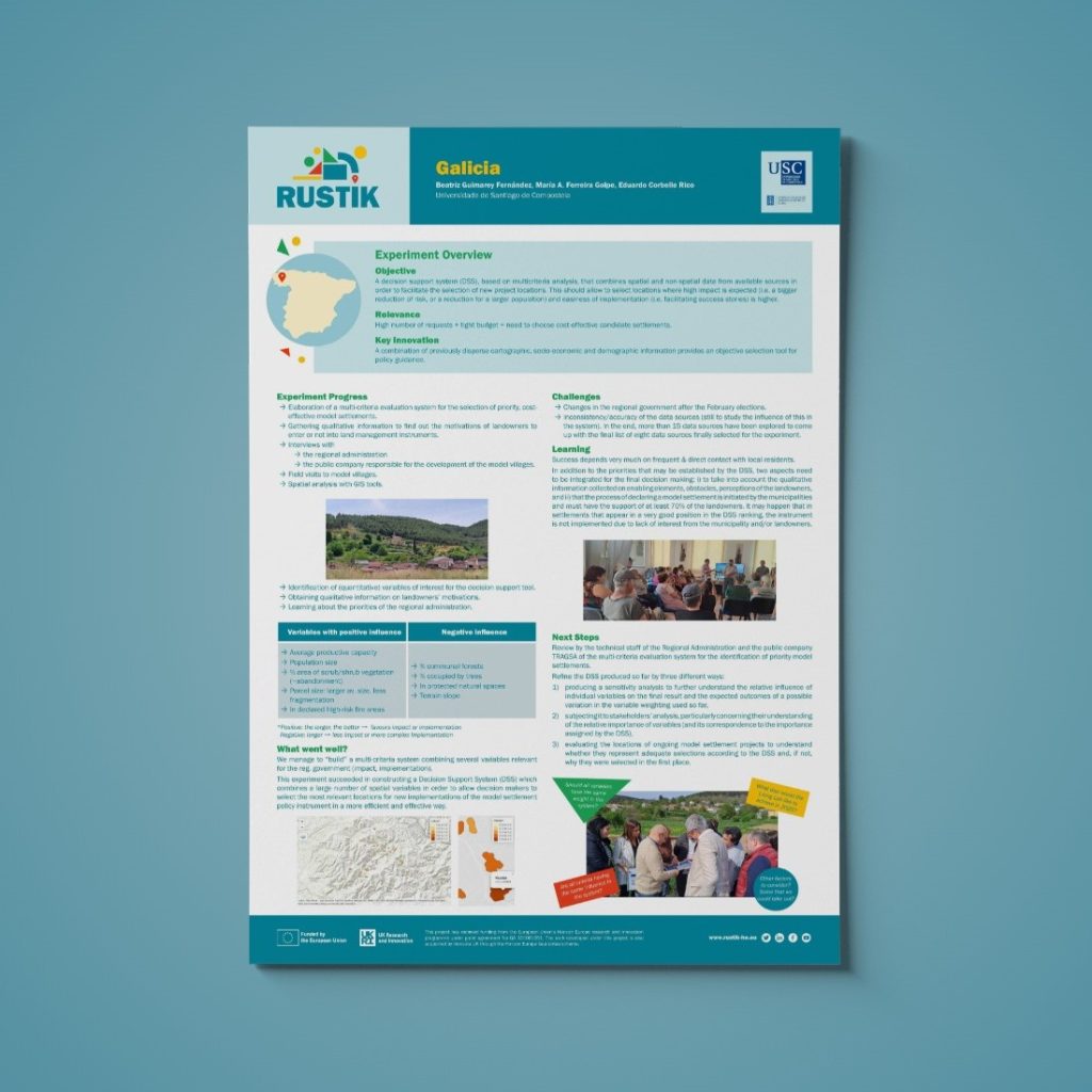
Poster LL Experiment

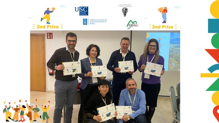
Pictures 📸