RUSTIK създаде 14 живи лаборатории за насърчаване на прехода към устойчивост в селските общности

RUSTIK (Rural Sustainability Transitions through Integration of Knowledge for Improved Policy Process – Преходи за устойчивост в селските райони чрез интегриране на знания за подобрение на процеса по създаване на политики) е четиригодишен трансдисциплинарен изследователски проект. Проектът има за цел да даде възможност на участниците в селските общности и на създателите на политики да разработят по-добри стратегии и инициативи, насърчаващи прехода към устойчивост в селските райони.

Проектът, финансиран от програма “Хоризонт Европа”, предвижда анализ на настоящите изисквания за адаптация, както и подкрепяне на ефективните политики в селските райони за по-доброто разбиране на различните функционалности и характеристики на районите, потенциалите  им и предизвикателствата пред тях. Основните трансформации, които ще бъдат проучени в рамките на проекта, са свързани с измененията в околна среда, климата, социално-икономическите динамики и цифровите технологии.

Живите лаборатории в 14-те  пилотни региона в 10 европейски държави ще бъдат централният елемент за генериране на нови познания за разнообразието на селските райони и обществените трансформации в тях. Живите лаборатории на RUSTIK ще работят по идентифицирането на нови данни, методи за събиране на данни, съчетани с настоящите източници, за да се създадат релевантни индикатори за измерване и справяне с предизвикателствата. Проектът ще се съсредоточи върху интегрирането и разпространението на данни, за да направи информацията и анализа достъпни и ценни за участниците и създателите на политики, подобрявайки въздействието на политиките, които се прилагат в селските райони. Крайната цел е да се окаже въздействие върху стратегиите за развитие и начина им на създаване, приложение и управление. За целта се предвиждат три последователни етапа, които ще се извършат от партньорите по метода на „Живата лаборатория“: преглед на ситуацията, експериментиране с данни и изучаване на политиките.

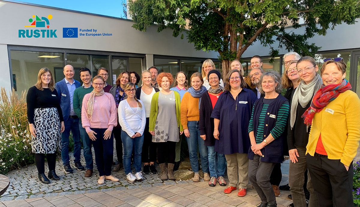
Тази седмица академичните партньори по проекта се събраха на начална среща, организирана във Франкфурт от координатора на проекта – Института за изследване на развитието на селските райони (IfLS).

Мултидисциплинарен консорциум

Консорциумът включва 30 партньорски организации. Осем университета и четири научноизследователски института предоставят научна експертиза в областта на развитието на селските райони, пространственото планиране и отчитане, процес на разгръщане на  политиките, устойчивост и изменение на климата; две основаващи се на знанието предприятия от категорията малки и средни (МСП) допринасят за това с готови за прилагане технологии и подходи; а две НПО действат като посредници между университетите и МПС.

Местните и регионалните партньори осигуряват ориентирано към практиката изпълнение на проекта. Обхванати са  партньори от пет местни или регионални публични администрации, две местни инициативни групи (МИГ), три бизнес асоциации и три агенции за регионално развитие.

Две европейски организации, представляващи заинтересовани страни в планинските райони – Euromontana и Европейската асоциация LEADER за развитие на селските райони, ELARD – са ключови мултипликатори за други европейски региони и по-специално подпомагат разпространението на информация сред институциите и гражданите на Европейския съюз.

Усилията на консорциума ще допринесат за укрепване на съществуващите инструменти и подходи на европейската политика, най-вече в подкрепа на Европейската зелена сделка, Европейската стратегия в областта на цифровите технологии, Европейския стълб на социалните права и Дългосрочната визия на ЕС за селските райони на Европейския съюз, политиката на ЕС за сближаване, общата селскостопанска политика, и по-специално Европейския фонд за гарантиране на земеделието (ЕФГЗ) и Европейския земеделски фонд за развитие на селските райони (ЕЗФРСР).
Exploring European Geospatial Data Tools

The Rustik partners are continuing their learning journey, acquiring new insights to develop their data experiments. Recently, MCRIT and the Universidad Autónoma de Barcelona organized a training session on European geospatial data tools. Participants gained skills in data visualization, downloading capabilities, and basic analysis, focusing on:

  • Using web tools to search and download satellite imagery and related data.
  • Conducting visual analysis of geospatial data, including comparisons and time-lapse views.
  • Identifying and accessing relevant data for specific areas of interest.
  • Applying geospatial data tools effectively in their work or projects.

Copernicus Tools: Copernicus, the EU’s Earth observation program, provides free and accessible information services from satellite and in-situ data sources. Tools include:

  • Sentinel-1: Radar imagery for land and ocean services.
  • Sentinel-2: High-resolution optical imagery for monitoring vegetation, soil, and water.
  • Sentinel-3: Data for marine and land services, such as ocean and land surface temperature.
  • Sentinel-6: Altimetry data for measuring global sea-surface height.

Copernicus Data Space Ecosystem CDSE This platform offers real-time data access, customizable imagery rendering, and extensive cloud options for processing Copernicus data.

Copernicus Land Monitoring Service (CLMS): Provides essential land cover information for applications in spatial planning, agriculture, and climate change mitigation.

EEA and JRC Tools: The European Environment Agency (EEA) and Joint Research Centre (JRC) offer tools like the JRC Data Catalogue, European Drought Observatory, Urban Data Platform, and European Soil Data Centre (ESDAC). These tools support various applications in spatial planning, forest management, water management, agriculture, and more.

Explore these tools and data resources for informed decision-making and impactful projects.

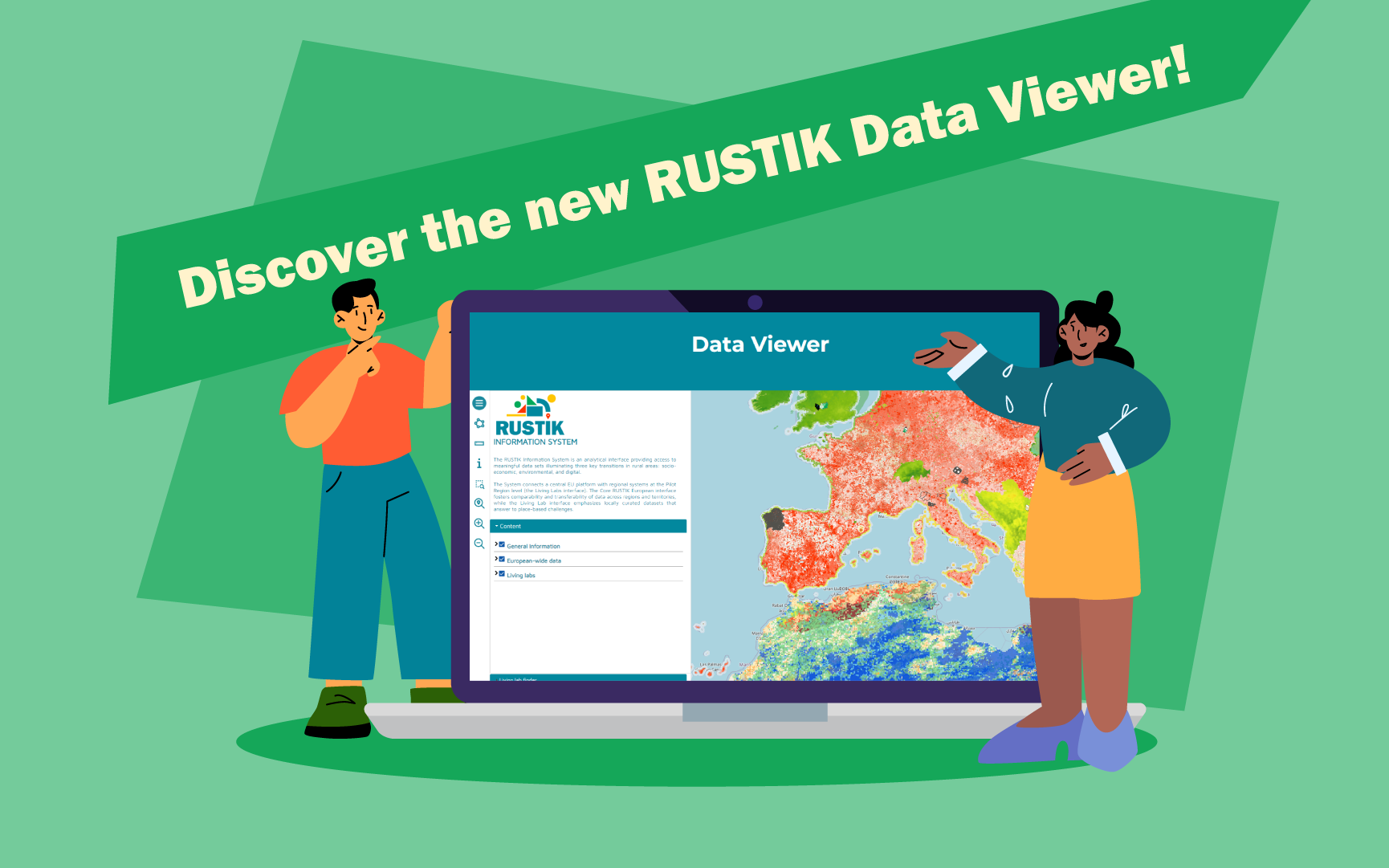
RUSTIK Data Viewer Now Available! Empowering Rural Sustainability Transitions

Rustik Data viewer now available!

We are thrilled to unveil the launch of the RUSTIK Data Viewer, a powerful tool designed to revolutionise evidence-based decision-making and drive positive impacts in rural sustainability transitions.

What is the RUSTIK Data Viewer?

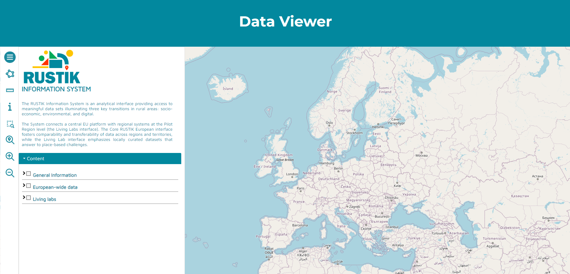
The RUSTIK Information System is more than just a tool; it’s a reliable resource crafted to facilitate comprehensive insights into rural sustainability transitions, encompassing social, economic, environmental, and digital dimensions. At its core, the system serves as a centralized platform, providing seamless access to data meticulously curated within the RUSTIK Database.


Who Benefits from the RUSTIK Data Viewer?

This innovative system isn’t just for researchers and policymakers; it’s for anyone passionate about rural sustainability. From policymakers shaping legislative frameworks to academics conducting groundbreaking research, the RUSTIK Data Viewer caters to a diverse spectrum of stakeholders invested in rural development.

Key Features and Functionalities:

The RUSTIK Data Viewer boasts an intuitive user interface designed with your convenience in mind. Navigate effortlessly through layers of data, gaining valuable insights at every turn. Here’s a glimpse of what awaits you:

  • Layers Menu: Seamlessly transition between the European Core and 14 Living Lab Cores.
  • Area Draw Tool: Customize shapes and areas on the map to suit your analysis.
  • Measure Tool: Accurately measure distances to inform your decision-making process.
  • Information Tool: Dive deep into specific elements or locations on the map, accessing associated attributes with ease.
  • Zoom Functionality: From zooming into specific regions to gaining a holistic view of the entire EU extension, the zoom features empower you to explore with precision.

The Richness of RUSTIK Database:

The backbone of the RUSTIK Data Viewer lies in the extensive RUSTIK Database, meticulously curated to capture economic, social, and environmental indicators. From sectors and employment to quality of life and climate change mitigation, our database is a treasure trove of invaluable insights.

Unveiling Diverse Data Sources:

Our commitment to robust analysis extends to diverse data sources, including:

  • Data from European agencies and programs, such as Eurostat and the European Environmental Agency.
  • Insights from private actors, NGOs, and research institutions, enriching our understanding of consumer behavior and specialized research.
  • Geo-data scraping from platforms like Open Street Map and Google Maps, offering a wealth of geospatial information for in-depth analysis.


The RUSTIK Viewer isn’t just a tool; it’s a catalyst for change. Join us as we embark on a journey to transform rural sustainability transitions. Explore the RUSTIK Data Viewer today and be part of the movement towards a more sustainable future.

At RUSTIK, we believe in the power of data to drive meaningful change. With the RUSTIK Viewer, we empower you to make informed decisions that pave the way for a brighter, more sustainable tomorrow.

Visit our website to access the RUSTIK Data Viewer and unlock a world of possibilities. Together, let’s shape the future of rural sustainability, one data point at a time.

Data Scraping Training Recap!

Data Scraping Training session Rustik toons at the workshop, talking to each other next to a giant computer with a presentation on it.

A Data Scraping Training session was hosted by MCRIT Multicriteria Planning, Work Package 2 (Co-design of data collection approaches, databases, and RUSTIK information system) leaders on 29 April, 2024. This training was tailored to meet the specific needs of Living Labs involved in the data experimentation process.

 What is Data Scraping?

Data scraping, also known as web scraping, is the automated process of extracting information from websites or databases. This enables us to efficiently gather large volumes of data for analysis, uncovering valuable insights and trends.

 Training Highlights

  • From Data to Geospatial Information: Participants learned how to convert raw data into meaningful geospatial information. This process is crucial for visualizing and understanding the spatial dimensions of the data collected.
  • Relevance of Geographical Information for RUSTIK: This part of the session highlighted the importance of geospatial analysis. Moreover, participants gained insights into territorial dynamics and learned how geospatial data facilitates informed decision-making in various domains such as urban planning, environmental management, and transportation logistics.

Scraping Techniques

Attendees discovered methods to extract data from various online sources, automating the process for streamlined workflows and access to up-to-date information. Tools such as Apify and Geofabrik were introduced.

  • Apify: A platform that allows users to automate web scraping tasks without writing any code, making it accessible to users of all skill levels.
  • Geofabrik: Provides geospatial data extracts and tools for OpenStreetMap, enabling users to access and process geographic data for a wide range of applications.
  • Transforming Scraped Data into Useful Information for Living Labs: the training focused on how to process and transform the data extracted from websites into actionable insights for the Living Labs‘ experimentation processes. Participants learned best practices for cleaning, structuring, and analysing the data to support their specific needs and objectives.

To conclude, as the training wraped up, it’s time to put the knowledge into action. Our Living Labs partners will leverage these tools for their data experiments. Stay tuned and follow the project to catch the exciting results!

Rural revival in Galicia: Navigating Land Fragmentation for Sustainable Development

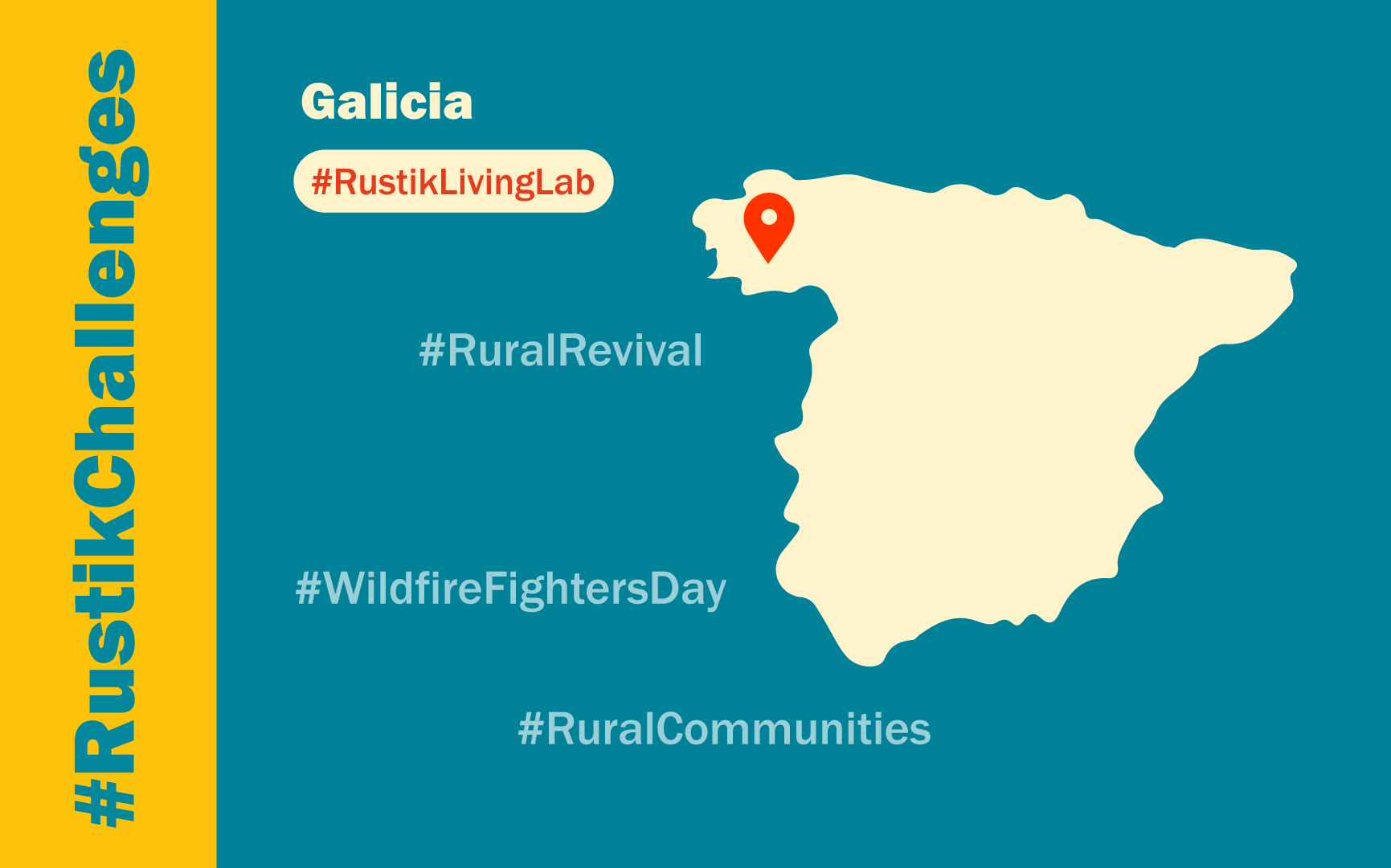
Map of Spain with a marker for Galicia 's Living Lab

In an ambitious effort to address rural decline and mitigate wildfire risks, Galicia ‘s Pilot Region is pioneering a multifaceted approach to land management. Spanning 20 municipalities across the southern expanse of the region, this initiative aims to revitalize socio-economic structures while safeguarding the environment.

At the heart of this endeavor lies a complex interplay between land use and ownership patterns. With over a million land plots scattered across 2,653 square kilometers, Galicia grapples with staggering fragmentation, hindering the development of an active agricultural sector. Despite a significant presence of landowners – numbering over 110,000 – farming activities have dwindled, with only 5,700 active farms reported in 2020.

Population dynamics further compound these challenges, with rural areas experiencing steady depopulation driven by aging demographics and youth emigration in pursuit of better opportunities. Yet, amidst this exodus, a glimmer of hope emerges: a positive net migration rate fueled by retirees returning to their roots.

The challenges

Recognizing the urgent need for intervention, Galicia’s regional administration has embarked on a comprehensive strategy, enacting legislation aimed at reclaiming agricultural land and fostering sustainable practices. Central to this effort are “model settlements” designed to encourage agricultural activity near communities, curbing vegetation encroachment and mitigating wildfire threats.

However, the road to rural revitalization is fraught with obstacles. Accessing vital information on land ownership proves arduous, while high transaction costs deter prospective farmers. Yet, the potential benefits are undeniable. Studies suggest that a resurgence in farming could bolster municipal economies by over 2.5%, breathing new life into struggling communities.

Moreover, the environmental stakes are high. As farmlands lie fallow, forests encroach, exacerbating wildfire risks exacerbated by climate change-induced droughts.

In response, Galicia’s Living Lab initiative embarks on a quest to reconcile land use and ownership. By leveraging existing data and engaging landowners, the aim is to unlock the untapped potential of underused land, fostering a symbiotic relationship between rural communities and their surroundings.

As Galicia charts a course towards a more sustainable future, the Pilot Region stands as a beacon of innovation, demonstrating the transformative power of collective action in the face of formidable challenges.

Unveiling the Rural Renaissance: A Paradigm Shift in Understanding Functional Rural Areas

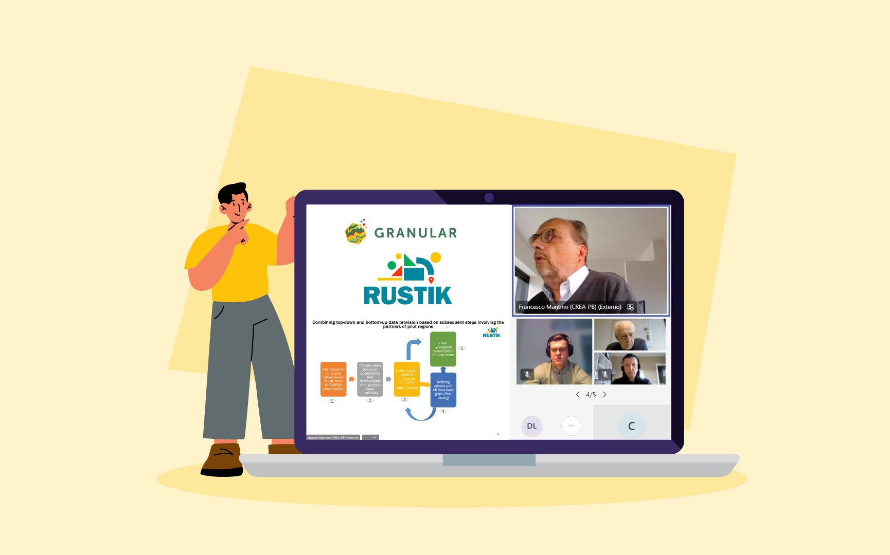
In a webinar hosted by the GRANULAR project on February 28, 2024, we witnessed a pivotal moment in the redefinition of our perception of rural areas.

In a webinar hosted by the GRANULAR project on February 28, 2024, we witnessed a pivotal moment in the redefinition of our perception of rural areas. This event, organized by the European Association for Innovation in Local Development (AEIDL), marked the 2nd Knowledge Transfer Accelerator activity, bringing together thought leaders, researchers, and practitioners from over 22 EU Member States, the UK, Switzerland, Turkey, and several African countries. Notably, the webinar featured active participation from the RUSTIK project,  contributing valuable insights to the discourse.

Historical Context: A Call for Nuanced Understanding

Traditionally, rural areas have been characterized by simplistic metrics such as population density and proximity to urban centers. However, this approach oversimplifies the complex reality of rural spaces, ignoring the diverse functionalities and rural-urban interactions that shape these regions. Recognizing this limitation, the latest EU Council conclusions on the EU’s Long-Term Vision for Rural Areas (LTVRA) emphasized the need for a more profound understanding of rural diversity. This is seen as a crucial step toward fostering place-based rural development and aligning with EU policies and strategies, including Cohesion Policy and the Common Agricultural Policy.

The Webinar’s Vision: Functional Rural Areas as the New Frontier

The webinar aimed to introduce a transformative perspective on rural diversity, focusing on the lens of rural (multi)functionalities. A ‘Scoping report on rural typologies across Europe’ provided an analysis of existing rural typologies, setting the stage for a conceptual framework centered on functionalities and synergies with urban territories. Leveraging insights from the Horizon Europe RUSTIK and GRANULAR projects, the webinar initiated a crucial discussion on the necessity for more comprehensive rural typologies for assessment and statistical purposes at both EU and national levels.

Insights Unveiled: A Glimpse into the Webinar Presentations

The agenda featured enlightening presentations that deepened our understanding of this paradigm shift:

  • Overview of Rural Typologies in Europe by Mats Stjernberg (Nordregio):

    Unveiling findings from the ‘Scoping report on rural typologies across Europe, ‘ Stjernberg provided a comprehensive state-of-the-art analysis of territorial typologies at the EU level and across 27 European regions.

  • Rural Multi-Functionalities by Henk Oostindie & Bettina Bock (Wageningen University):

    Demonstrating the integration of multi-spatiality and multi-functionalities into a Rural Diversity Compass, Oostindie and Bock showcased a prototype that categorizes rural functionalities into residential, productive, recreational, and environmental components.

  • Developing a Definition of Functional Rural Areas by Lewis Dijkstra (Joint Research Centre):

    Dijkstra introduced the recently-developed EU definition for Functional Rural Areas (FRA), offering an analytical picture of rural territories and service provision.

  • Functional Rural Areas and Beyond by Francesco Mantino (CREA):

    Mantino, author of RUSTIK’s report on “Methodological framework to define Functional Rural Areas and rural transitions,” emphasized the need for a new definition of “rural” based on functionalities, neo-endogenous theories, and network connectivity.

Reflecting on the Future: Redefining Ruralities

The webinar culminated in a thought-provoking round table discussion where speakers reflected on how redefining ruralities can enhance rural understanding and policy-making. The consensus was that a functionality-based approach provides a more nuanced and granular picture of rural areas, acknowledging their diverse needs and opportunities.

Looking Ahead: The Path to a Functional Future

As we navigate the post-2027 programming period, the insights from this webinar echo the sentiments expressed by the High-Level Group on the Future of EU Cohesion Policy. Identifying spatially concentrated challenges and understanding multiple dynamics emerge as key challenges for future EU territorial development policies.

In conclusion, the webinar has set the stage for a new era in rural development. By shifting our focus from traditional classifications to a functionality-based approach, we can unlock the true potential of rural areas. The collaboration between GRANULAR and RUSTIK, along with the active engagement of experts from diverse regions, showcases the collective effort towards a more comprehensive and insightful understanding of rural landscapes. The journey has just begun, and the road to functional rural areas promises to be transformative for the future of rural policy and development.

For more detailed information you can watch the webinar recording!

Join us in reshaping the narrative around rural areas and contributing to the Rural Renaissance!


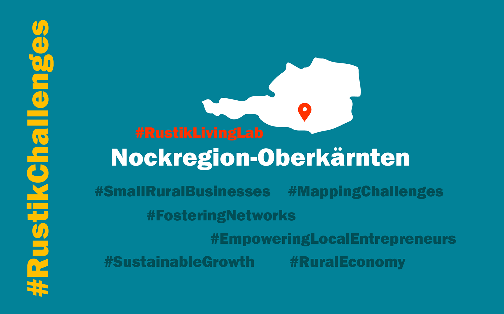
RUSTIK Living Lab in Austria’s Nockregion-Oberkärnten – Navigating the Future: Small Rural Businesses in Focus

Welcome to the inaugural Living Lab Report for the Austrian Pilot Region, Nockregion-Oberkärnten, situated in the heart of the Central Alps within Carinthia’s southernmost province. Covering 1,324 km² and encompassing 17 municipalities, this region grapples with the persistent challenge of population decline. With only 15% dedicated to permanent settlement, the economic landscape thrives on key sectors like tourism, agriculture, forestry, trade, industry, and construction.

Living Lab Challenge

Our Living Lab challenge focuses on Small Rural Businesses (SRB) in Nockregion-Oberkärnten. Initially exploring the application of a Quality of Life (QoL) Index, we redirected our attention to the more pertinent challenge of identifying the needs and challenges faced by SRBs and establishing a network to support them. This encompasses businesses, including farmers, with no more than 50 employees. The primary objective is to pinpoint data gaps, map the current regional state, and foster a comprehensive understanding of challenges encountered by entrepreneurs and business owners.

The groundwork laid will assess and justify the necessity of establishing a regional network/platform for SRBs. Envisioned as a central hub, this platform addresses challenges such as strengthening awareness of regional products, fostering value chains, facilitating joint training, enhancing negotiation power, addressing sustainable green business management issues, navigating rental space availability, managing challenges in employee recruitment and retention, and focusing on women as a specific target group.

Rationale

This approach rectifies oversights in previous projects by focusing on SRBs’ absence in regional strategies, especially during their foundation and takeover processes. The decision to spotlight SRBs aligns with their substantial contribution to the local economy, providing diverse employment opportunities. In Carinthia, small businesses constitute about 94% of all businesses, playing a crucial role in stimulating local activities and combating vacancies, contributing to the overall attractiveness of rural municipalities.

Knowledge to Date

Insights from expert interviews, PRP meetings, and literature research showcase existing business collaborations and challenges faced by SRBs in Nockregion-Oberkärnten. Previous initiatives like IGO and AGZ aimed at business settlements and sharing employees among different employers, underscoring the region’s efforts. Challenges, including limited time capacity for small business owners, difficulties in consolidating projects, and issues like employee retention and high rental prices, have surfaced through stakeholder engagement.

Research Questions

  • What is the current state of the SRB landscape in Nockregion-Oberkärnten concerning the number of businesses, sector, branches, and employment sizes?
  • What data points and indicators are relevant for stakeholders to describe or gain a better understanding of the current situation of SRBs? What are the opportunities and shortcomings
  • What benefits do SRBs envision from a new platform or network, and how should it be structured to ensure acceptance?

Policy Relevance

To address the socio-economic transition, a holistic approach involving all sectors is deemed necessary. The Living Lab’s transition challenge aims to strengthen the position of SRBs in regional decision-making processes, aligning with the PRP’s objective of attracting new inhabitants and encouraging locals to stay. Establishing a network of SRBs is viewed as a critical step in adapting regional policies to address demographic change.

Emerging Data Needs

The Living Lab will focus on SRBs, aiming to identify and fill data gaps to understand their challenges and obstacles. Combining quantitative and qualitative local data will provide a comprehensive foundation for future strategies and decision-making.

Data Availability

While statistical data on workplaces, companies, and employees for SRBs is available, specific needs and challenges data are lacking. Expert interviews and consultations with stakeholders will be conducted to improve the knowledge base. OpenStreetMap data since 2012 will complement spatial analyses, providing insights into the spatial distribution of economic activities in the region.

RUSTIK participates at Euromontana’s Annual Conference: Navigating Transitions in Mountain Areas 

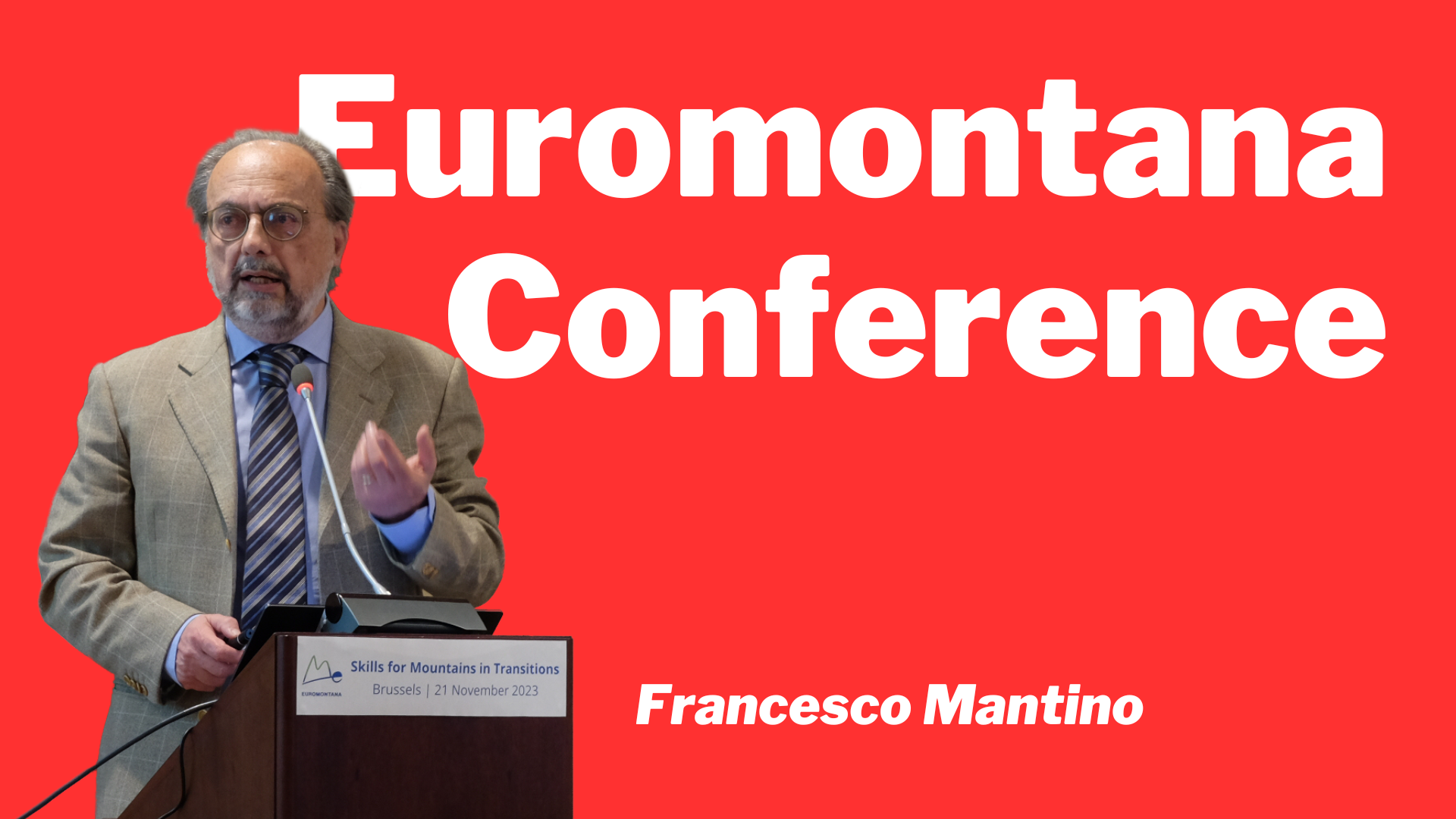
In a resounding affirmation of its dedication to tackling the challenges and seizing opportunities in rural areas, the RUSTIK project actively participated in Euromontana’s Annual Conference—an integral component of the European Year of Skills. The conference, titled “Skills for Mountains in Transitions,” served as a convergence point for influential stakeholders, researchers, and practitioners, providing a dynamic forum to delve into the intricate transitions impacting mountain economies and labor markets. 

Francesco Mantino, Architect of Rural Transitions: 

Francesco Mantino, a prominent figure in conceptualizing rural transitions for policy-making, represented the RUSTIK project at a pivotal session. As the Council for Agricultural Research and Agricultural Economy Analysis and a partner in the RUSTIK project, Mantino contributed valuable insights during the conference. He spearheaded discussions on the challenges and opportunities for skills and employment in mountain areas, sharing the stage with distinguished speakers. 

Mantino’s session, titled “Setting the scene: challenges, opportunities and approaches for employment and skills for mountain in transitions,” saw him collaborating with Guillaume Corradino, the Director of Euromontana. The duo laid the groundwork for understanding the intricate landscape of mountain transitions, discussing both challenges and innovative approaches. 

Additionally, Mantino shared the stage with Kirsty Blackstock, from the James Hutton Institute and partner of the MOVING project. Their discussion delved into “Skills for the future of mountain value chains,” shedding light on the evolving nature of skills needed in these regions. 

Rural Proofing for Mountain Areas: 

Beyond the conference sessions, Mantino actively participated in the General Assembly, engaging in a parallel session on rural proofing. Drawing from RUSTIK’s deliverables, he presented case studies from Finland and the UK, offering a nuanced perspective on the application of rural proofing in mountain areas. The discussions proved to be a melting pot of experiences, allowing participants to identify challenges and needs for effective rural proofing implementation. 

Euromontana’s Vision and Conference Focus 

Against the backdrop of declining populations, loss of attractiveness, climate change impacts, and the imperative green transition, Euromontana’s conference aimed to spotlight the challenges and solutions for employment and skills in mountain areas. The overarching goal was to explore sector-specific difficulties and opportunities while brainstorming innovative solutions to attract talent to these regions. 

In the spirit of collaboration, Euromontana provided a platform for representatives of the European Commission, researchers, and practitioners to share their expertise, shaping policy and practical solutions for talent attraction in transitioning mountain areas. 

The 14 RUSTIK Living Labs actors meet in Barcelona to foster knowledge exchange


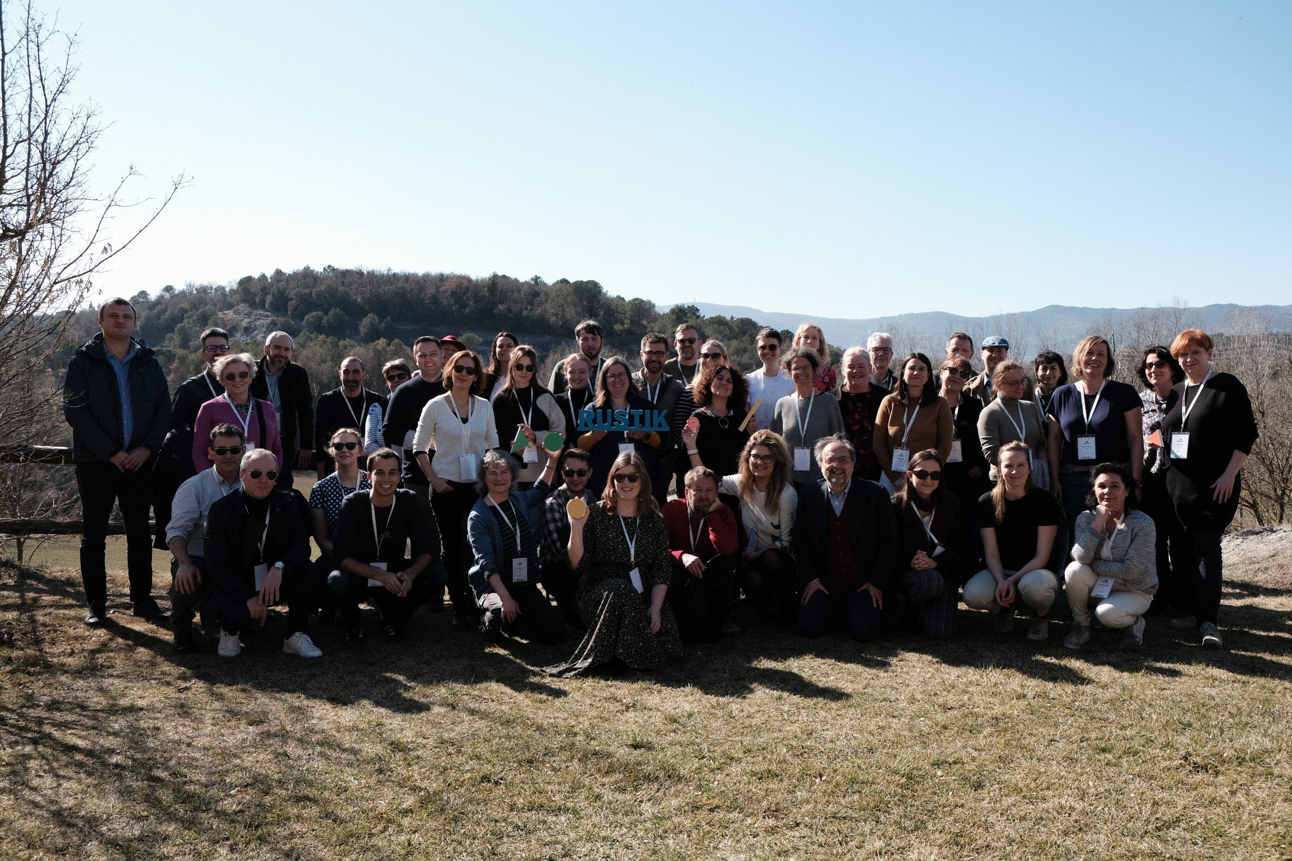
The Pilot Region Kick-off was held in February 2023, and it was RUSTIK’s first in-person knowledge exchange, training, and networking event for partners from the 14 Pilot Regions. The event took place over two days in Barcelona and Osona in Catalonia.

During the Pilot Region Kick-off event, attendees had the opportunity to increase their understanding of the RUSTIK project and interact with the project coordinators. They also delved into how the Pilot Regions could add value to the initiative and gained indispensable knowledge for implementing RUSTIK’s approaches. It was also the first opportunity for exchanging ideas and insights with partners from 14 distinct rural regions across ten states.

During the first day of the meeting, the RUSTIK project was introduced, and the attendees learned about the key concepts that will play a key role throughout the project’s duration and began exploring how these concepts could be put into practice in their respective pilot regions. On the second day, the focus shifted from ideas to action. The attendees comprehended what to anticipate and accomplish as they started to put into action a RUSTIK Living Lab in their pilot regions.

The interactive workshops enabled the attendees to have a direct conversation with the leads in charge of each of the upcoming tasks in the Living Lab. They had the chance to ask questions and provide feedback about the topics covered, which included doing background research on their respective pilot regions led by Franco Mantino (CREA), identifying existing data and data needs led by Andreu Ulied (MCRIT), setting up and assessing their Living Lab led by Janet Dwyer (CCRI), and creating a policy panorama for their pilot region led by Petri Kahila and Juha Halme (UEF).

Our hosts in Catalonia

The hosts for the event were MCRIT and the Ersilia Foundation. On the first day, we visited Sant Miquel de Balenyà, one of RUSTIK’s 14 pilot regions. The town had been established after a train station was built in the area in 1875, and it now has 1,353 residents. The nearby Parc Natural de Montseny is a UNESCO biosphere reserve. The wider region, Osona (with a population of 165,229), is renowned for its sausages and has a ratio of over six pigs per person.

RUSTIK will run 14 Living Labs to foster sustainability transitions in rural communities

RUSTIK (Rural Sustainability Transitions through Integration of Knowledge for improved policy processes) is a four-year transdisciplinary research project. The project aims to enable rural communities’ actors and policymakers to design better strategies, initiatives and policies fostering sustainability transitions of rural areas.

The project, funded by the Horizon Europe programme, envisages an analysis of current adaption requirements and the support of effective rural policy-making processes for a better understanding of the different rural functionalities and characteristics as well as the potentials and challenges of rural areas. Environment, climate-energy, socio-economic and digital will be the key transition pathways studied in the project.

Living Labs in 14 European Pilot Regions in 10 European countries will be the central element to generate new insights into rural diversity and societal transformations. RUSTIK’s Living Labs will work on the identification of new data, methods of data collection, combined with current data sources to set up relevant indicators. The project will also focus on data integration and dissemination, to make information and analysis accessible and valuable for actors and policymakers; and to improve rural impact assessment. The final goal is to enhance policy strategies and governance structures. To do so, 3 sequential phases: situational review, data experimentation, and policy learning are envisaged.

This week the academic partners of the project got together for the kick-off meeting organised in Frankfurt by the project coordinator, the Institute for Rural Development Research (IfLS).

A multidisciplinary consortium
The consortium involves 30 partner organisations. Eight universities and four research institutes are providing scientific expertise within the fields of rural development, spatial planning and reporting, policy process, climate change and sustainability; two knowledge-based SMEs contribute to this with ready-to-apply technologies and approaches; and two NGOs act as intermediaries between university resp. SMEs.

Local and regional embedded partners ensure a practice-oriented implementation of the project. This comprises partners from five local or regional public administration, two local action groups (LAGs), three business associations and three regional development agencies.

Two European umbrella organisation representing rural mountainous stakeholders and regions, Euromontana,, and the European LEADER association for rural development, ELARD, are key multipliers towards other European regions and particularly support the dissemination towards the European Union.

The consortium efforts will contribute to enhancing existing European policy tools and approaches, most of all to support the European Green Deal, the European Digital Strategy, the European Pillar of Social Rights and the EU Long-Term Vision for Rural Areas of the European Union, the EU Cohesion policy, the common agricultural policy, and, in particular, the European agricultural guarantee fund (EAGF).

Follow the project: